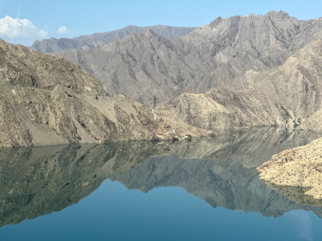
Kara-Suu Lake is located in a gorge at an altitude of 2,022 m between Takhtarik and Ken-Kel, on the border of the Talas, Naryn and Jalal-Abad regions. Kara-Suu was formed as a result of an earthquake. Despite the Kyrgyz word, which translates as “black water”, the sky-blue water of the lake is amazing.
Kara-Suu covers an area of about 16 square meters. and has a maximum depth of 90 m. The Shibe River flows into the Kara-Suu, and the Kara-Suu River flows for 85 km, a tributary of the Naryn River. The water of Kara-Suu is cold even in summer. It is easy to approach the coast from the south, but the northern side is covered with sharp rocks. Although the north side is more beautiful, we recommend the south shore of the lake.
A picturesque panorama of Alampasa Mountain opens from the lake. Amateur climbers also climb here.
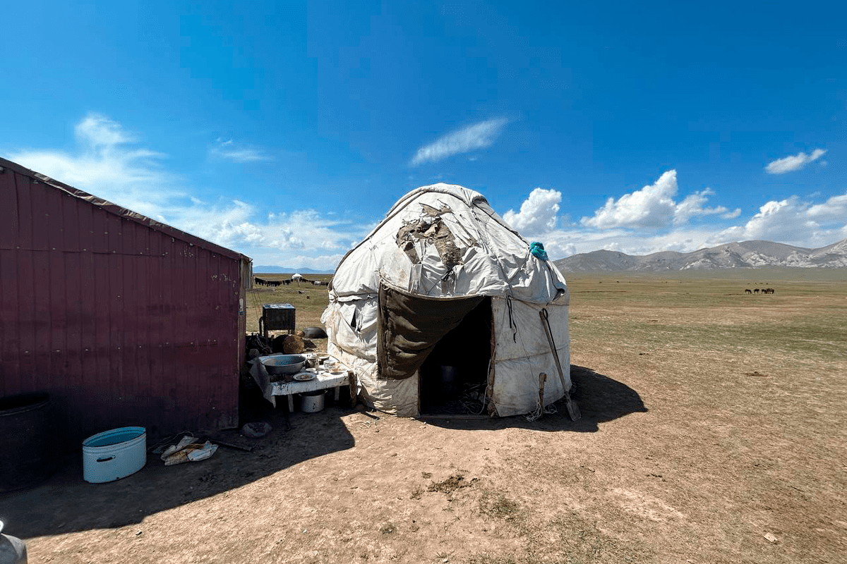
Nearby there are Tien Shan firs, Japanese ash, red maple, giant gibbons, birches, honeysuckle, fruit trees and rose hips. Marinka, peled and other species of fish are bred in the lake. However, fishing is prohibited here, regardless of size and weight. On the southern shore of the lake, shepherds build a camp and yurts, and in the warm season they graze cattle.
Not far from Kara-Suu, at an altitude of 2303 m above sea level, there is a lake Kapka-Tash. The name of the lake means “stone gate” in Kyrgyz. This lake was also formed as a result of an earthquake.
There are no paved roads on the way to Kara-Suu. The nearest settlement is 50 km away.
Tourists and travelers remember Lake Kala Suu because of the color of its stunning blue water, the attractive shade of which varies depending on the time of day and season. From the shore of Lake Kala Suu there is a stunning view of one of the peaks of the Fergana Mountains – Alampasi (3754 m above sea level).
Above the Kala-Suu Lake is the Kapka-Tash Lake, which can be reached by a well-traveled road.
From the Kala-Suu Valley you can get to the pass in the southern part of the Fergana Mountains. The road leads to the Arslanbob forest.

