The 88 ridges of the mighty Tien Shan mountain range are a long chain of mountains stretching from west to east. The name of the mountain range means “heavenly ridge”. Other mountain ranges, for example, Chon-Alai in the south of the country, belong to the Pamir Mountains system. The mountains of Kyrgyzstan divide the country into northern and southern parts, which are connected by a single Bishkek-Osh road. The average length of mountain ranges in Kyrgyzstan is 100-300 km. The longest mountain range (Kokshaal has a length of 582 km, and the Kyrgyz Mountains south of Bishkek stretch for 454 km. The width of the ridges ranges from 10 km to 40 km . Many of these peaks were accessible in Soviet times, as no permits were required to cross the border. But even today, when many restrictions have been lifted, special permits are still required, as difficult border crossings are required in some places.
Despite the fact that some peaks are easy to climb, the weather can be an unexpected obstacle for climbers. Heavy snowfall hides cracks and causes avalanches, which can be deadly. The Snow Leopard Award is awarded to climbers who have conquered all five peaks of the former Soviet Union above 7000 m. Two of these five peaks are in Tajikistan, two are in Kyrgyzstan, and one (Lenin Peak) is on the border of these countries. The Snow Leopard award was established back in Soviet times, and since then it has been received by more than 600 climbers.
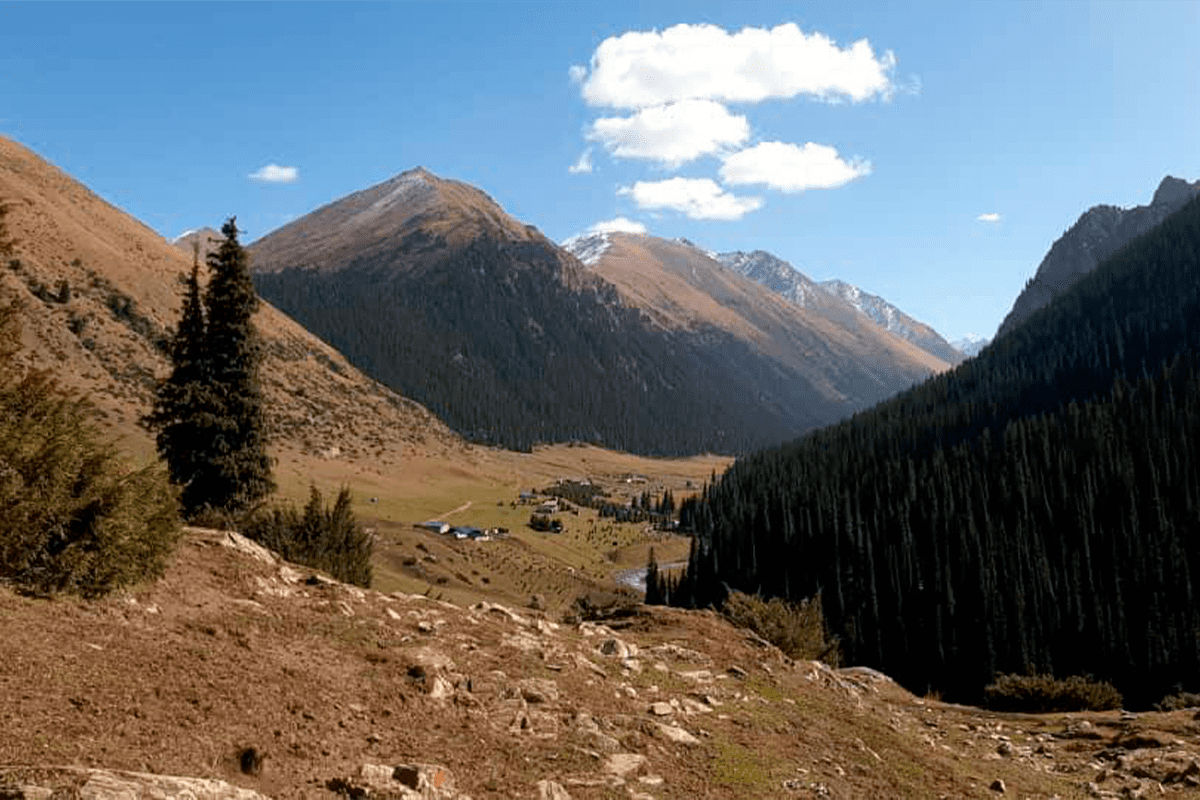
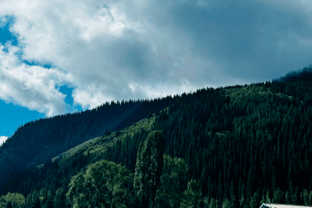
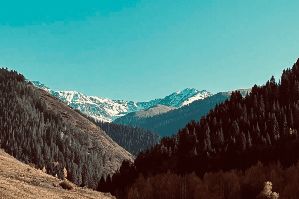
The northern slopes of the mountains of Kyrgyzstan are usually covered with forest, so the snow lasts longer. On the southern slopes, where the steppes and summer meadows are located, the sun shines longer.
Tian-Shan Mountains
The longest mountain range in Asia. The length of the mountain range is 2800 km, the width is 800 km. There are 40 peaks on the mountain range with a height of more than 6000 m . The mountain range is located on the territory of several neighboring countries, but most of it is on the territory of the Kyrgyz Republic. The mountain range, stretching for 2,800 km from the Chatkal Mountains east of Tashkent to Urumqi (beyond which the Tien Shan borders the Bogdo-Ula Mountains), is divided into northern, western, eastern, central and inner regions, each of which has its own characteristic “highland” features.
The central part of the ridge is located to the southeast of Issyk-Kul Lake and is known for two highest peaks – Pobedy Peak and Khan-Tengri Peak. In the mountain range surrounding the glaciers of the Upper Inylchek River, there are two peaks above 7000 m, 23 peaks above 6000 m, three of which are inaccessible, 80 peaks from 5000 to 6000 m above sea level and 14 more peaks.
The first mention of the “Heavenly Mountains” dates back to ancient times. According to ancient books and travelers’ stories, expeditions to these places have been made since ancient times, but all these are more legends than facts: in the middle of the XIX century, the expeditions of the Russian explorer Pyotr Semenov for the first time shed light on the secrets of the Heavenly Mountains. Thanks to his research, Pyotr Semenov received a second surname from the tsar – Tianshansky.
Interestingly, the northern region of the Tien Shan Mountains was first described by Xuanzang in the VII century, who left the following information In summer and spring snow falls. A fierce wind blows day and night” – a similar sight was probably seen by the famous traveler Marco Polo, when in 1273, together with his father and uncle, he passed along this route.
Ala-Too
On the southern shore of Lake Issyk-Kul there is the Terskei ridge Ala-Too (Misty Mountains), which is a whole series of mountains.
The Kungei Ala-Too Mountains are located on the northern shore of Lake Issyk-Kul and form the border with Kazakhstan.
The Kyrgyz Ala-Too ridge originates in the valley of the Issyk-Kul River and stretches along the northern border of Kyrgyzstan, 40 km south of Bishkek. All of them are accessible, picturesque places where everyone can find entertainment to their liking and have a great time.
Pamir
Only the northernmost mountains of the Pamir Highlands are located along the border between Kyrgyzstan and Tajikistan. The two main mountain ranges – Pamir-Alai and Transalai – are relatively close to the city of Osh. Lenin Peak is the highest of these ridges, reaching 7134 m above sea level. Lenin Peak is considered one of the most easily accessible mountains located above 7000 m, although due to bad weather its ascent can be difficult and dangerous
Ridge, peak and height (meters)-
Kokshal Too-Pobeda (Victory Peak)-7439 m
Chon Alaysky-Lenin Peak-7134 m
Alai-Tandykul-5880 m
Sary Jazz-Semenov Peak-5816 m
Turkestan-Sabla Peak-5621 m
Terskey- Alatau – Karakol Peak-5280 m
Ak-Shiirak – Jaman-su- 5126 m
Fergana – Kara-Kuldzha (Uch-Seyit)- 4940 m
Kirghiz- West Alameddin Peak-4855 m
At-bashi – Erme – 4786 m
Kungei- Alatoo – Chok-Tal -4771 m