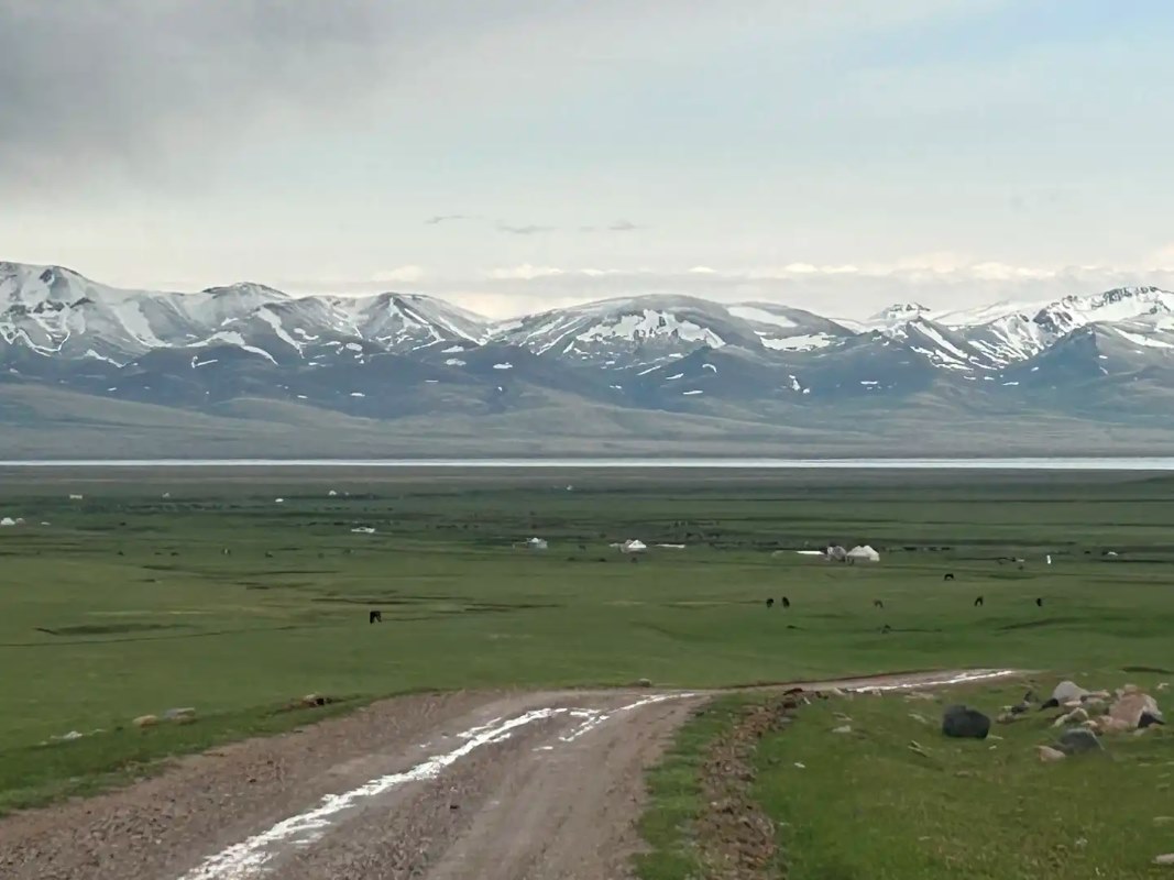
Victory Peak, Kyrgyzstan – located on the Kokshaal ridge in Issyk-Kul region, on the border with China. Its official Chinese name is Tomur Peak, and the Kyrgyz name is Zhenish Chokusu. The peak is the second highest in the USSR (7439 m). Victory Peak is the highest peak of the Tien Shan and the northernmost 7000-meter peak in the world. Its southeastern slope is located on the territory of China, and the border passes through the top along the ridge of the mountain from east to west. The top rises to the Asterisk glacier, forming a 3-kilometer vertical wall. The peak is often confused with Khan Tengri, although probably both peaks were called Khan Tengri by different groups of people at different times; this issue was resolved in 1946, when the peak was named Victory Peak in honor of the victory in World War II.
Weather conditions, including cold winds blowing from the Taklamakan Desert, make climbing difficult. According to some reports, the first ascent was made by a Soviet team in 1938, but when they reached the top, they were stunned that the mountain turned out to be much higher than they expected. The team used an airplane altimeter to measure the height of the mountain and got incorrect results. The fact of their ascent was recognized only after analyzing the reports of subsequent expeditions, but some doubt that the first expedition really reached the peak of Victory Peak.
The exact height of Victory Peak was measured during an expedition in 1943, and in 1955 the ascent did not take place, as 11 climbers died due to a snowstorm. The first ascent of Victory Peak from the Chinese side took place in 1977. In most cases, the ascent was successful, the summit was conquered by climbers from Russia and CIS countries.


