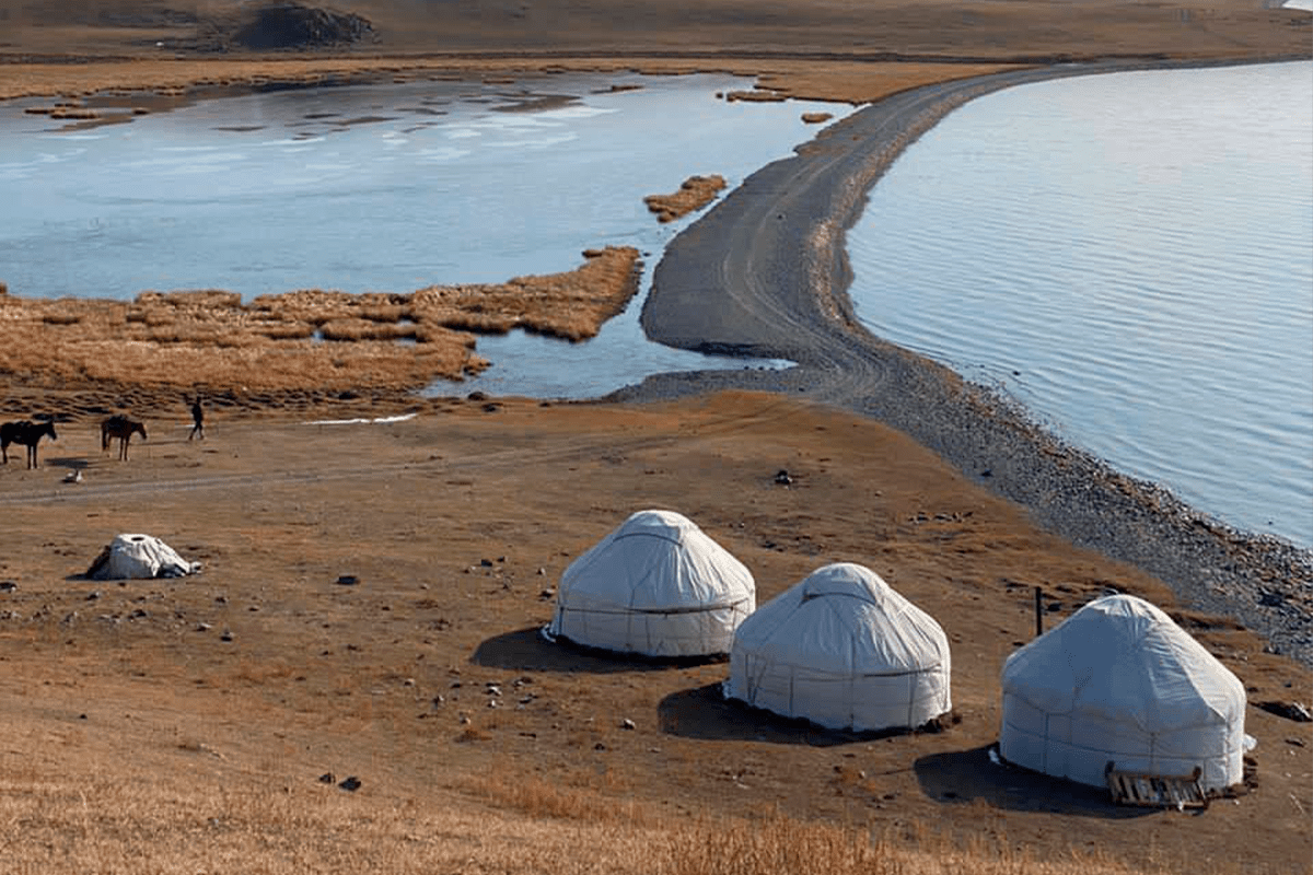
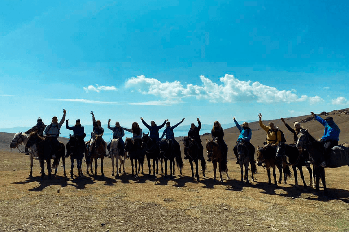
Barskonsky waterfall, Kyrgyzstan. Barskoon and Tamga are twinned with Russian and Kyrgyz villages at the mouth of the Barskoon Valley. The valley is famous for its waterfalls and offers excellent conditions for hiking and horseback riding. The village is adjacent to Jeti-Oguz, and it is quite easy to get to it if you have time for a short and interesting trip.
Barskoon Waterfall is one of the most famous waterfalls in Kyrgyzstan, its height is 24 m. The road to it is relatively easy, and there are several other small waterfalls nearby.
11th century scholar Mahmud al-Kashgari (also known as Barshani) he came from these places. He is known as the author of the first comparative dictionary of Turkic languages, which he compiled while living in Baghdad from 1072 to 1074. On his world map of that time, the Badger is designated as its center.
The road from Barskoon through the valley (A364) was one of the routes of the Silk Road leading to China through the Bedel Pass (4284 m above sea level). Now it is the main road leading to the Kumtor gold mining enterprise. The road is in good condition and has a high traffic intensity, including trucks going to the mine and back.
There are two interesting monuments in Barskoon. This is a Soviet truck on a wide pedestal and a bust of Yuri Gagarin. The cosmonaut was resting on the southern coast of Issyk-Kul after his historic first flight into space. To the southwest of the settlement is a mound with a diameter of 20 m and a height of 2 m, which arose between the V and III centuries BC. There are also the remains of an ancient settlement of the Silk Road (VIII-XII centuries), which served as a refuge for travelers heading to China from the Bedel Pass.
In the mountainous region to the east there is an area known as sityr (high-altitude cold desert). In Soviet times, the road turned east along the upper reaches of the Naryn River, skirted the Ishtyk Pass (3689 m above sea level), led to Ak-Shirak and Inylchek, and then returned to Karakol. Unfortunately, now several bridges have disappeared, and the road, which was difficult before, has become impassable.